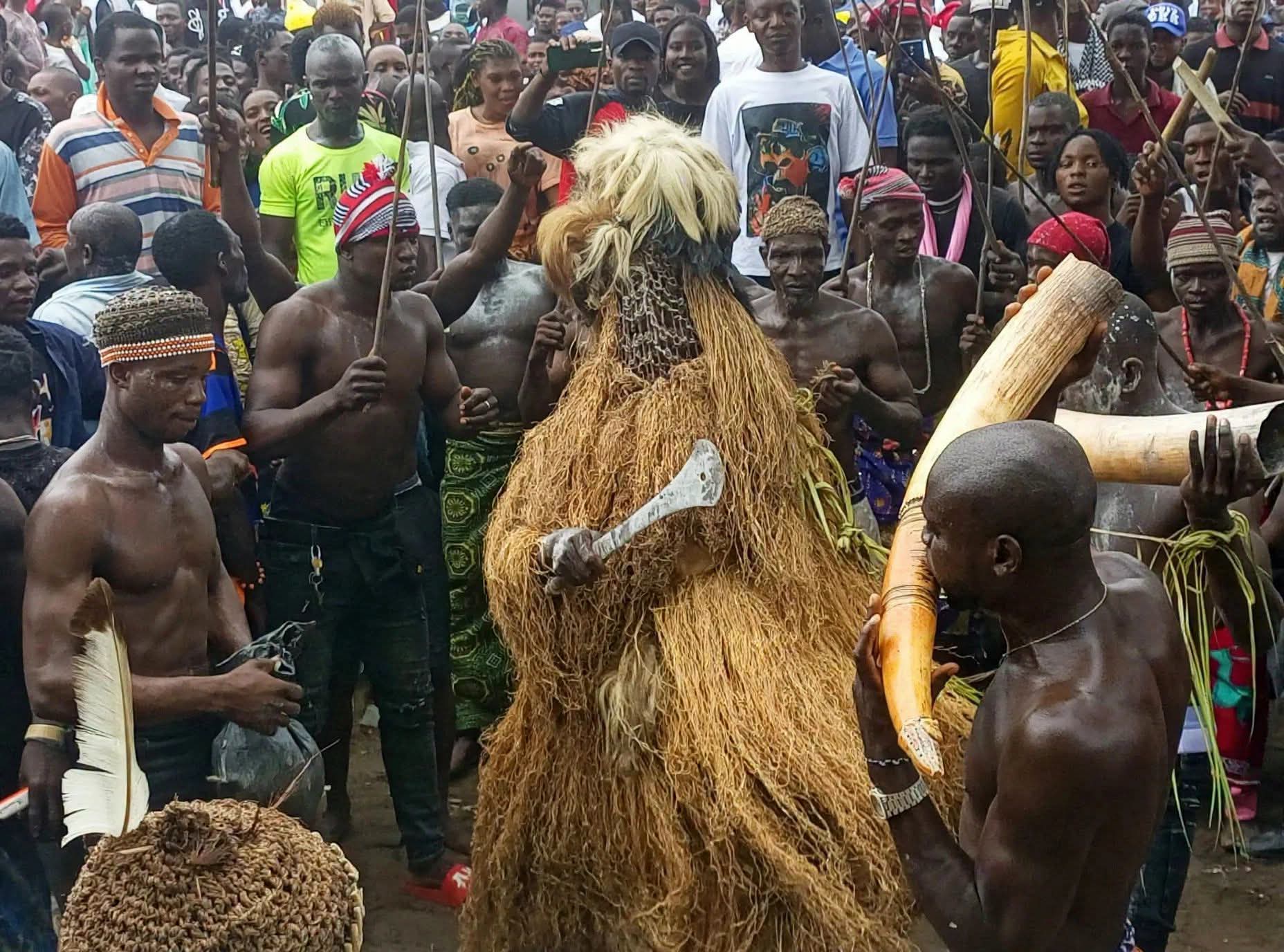
POPULATION AND GEOGRAPHICAL PROFILE OF UGEP
People: Ugep (Umor Otutu)
Location: Yakurr Local Government Area, Cross River State, Nigeria
Region: Central Cross River State
Subject: Population, Location, Land Area, Settlements, and Boundaries
Author: Abam Uket Ofem
1. Overview
Ugep, traditionally known as Umor Otutu, is a major urban and traditional community in Yakurr Local Government Area of Cross River State, southern Nigeria. It is an important centre of cultural, traditional, social, and economic activity within the region.
Ugep occupies a valley landscape surrounded by hills and agricultural areas. Its geographical setting has historically influenced settlement patterns, agriculture, transportation, and the development of the community.
Ugep is also widely regarded within local tradition as one of the largest traditional communities in the region. Population figures reported for the town vary, and estimates should be interpreted in relation to the source, year of enumeration, and geographical area being measured.
2. Geographical Location
Coordinates
Ugep is located approximately at:
- Latitude: 5.8086° N
- Longitude: 8.0812° E
These coordinates place the community within Cross River State in southeastern Nigeria.
Regional Position
Ugep is situated within the Central Senatorial District of Cross River State. The town occupies a valley environment surrounded by elevated terrain and hills. Its geographical setting contributes to the distinctive landscape of the community and its surrounding agricultural areas.
Transportation and Access
Ugep is connected to neighbouring communities and other parts of Cross River State through regional road networks. Important routes serving the area include the Calabar–Ikom highway and roads connecting Ugep with communities toward the Abakaliki axis.
These routes facilitate the movement of people, agricultural products, goods, and services between Ugep and other parts of the region.
3. Land Area and Settlement Structure
The land area attributed to Ugep is approximately 30.5 square kilometres, encompassing residential areas, traditional settlements, agricultural land, and other surrounding spaces.
The traditional organization of Ugep includes twelve historic clans and five major traditional wards or settlements:
1. Bikobiko
2. Ijom
3. Ijiman
4. Ketabebe
5. Ikpakapit
These traditional divisions form an important part of the historical organization and identity of the Ugep community.
4. Urban Status
Ugep functions as an important urban centre within Yakurr Local Government Area. Its role extends beyond residential settlement to include traditional administration, commerce, education, agriculture, social activities, and cultural institutions.
The town also serves as an important centre for the preservation and expression of Yakurr cultural heritage, particularly through traditional institutions and cultural festivals.
5. Population
Available population estimates for Ugep vary considerably depending on the source, geographical boundaries, and year of estimation. Some local estimates place the population within the range of 380,000 to 420,000 residents, while other sources may provide different figures.
Because population figures change over time and depend on the methodology used for enumeration, an authoritative census figure should be cited whenever available. The figures presented in this entry should therefore be treated as estimates rather than a definitive census count.
The substantial population of Ugep reflects its historical importance, extensive residential development, agricultural activities, and role as a major settlement in Yakurr.
6. Population Density
Using the estimated population range and an approximate land area of 30.5 square kilometres, Ugep has a relatively high population concentration.
However, population-density calculations depend on whether the stated land area refers exclusively to the built-up urban area or to the wider traditional territory, including agricultural and undeveloped land. For this reason, density figures should be interpreted carefully and supported by a clearly identified source.
7. Boundaries and Neighbouring Communities
Ugep shares geographical relationships with several neighbouring communities within Yakurr and the surrounding region.
Neighbouring communities commonly associated with the geographical area include:
- Ekori to the south
- Mkpani and Nko toward the southeast
- Idomi toward the east
The wider surrounding landscape also extends toward agricultural areas and communities along the routes leading toward the Ebonyi State border region.
These geographical relationships have historically contributed to interaction between Ugep and neighbouring communities through trade, agriculture, migration, marriage, cultural exchange, and other forms of social contact.
8. Significance
The geographical position and population of Ugep have contributed to its development as an important traditional and urban centre in Cross River State. Its large settlement, traditional subdivisions, agricultural environment, transportation connections, and cultural institutions form interconnected aspects of the community's historical development.
Understanding Ugep's population and geographical profile is therefore essential to documenting its history, traditional organization, cultural identity, and contemporary development.
Written by:
Abam Uket Ofem